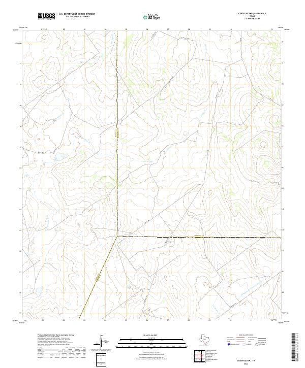
2022 Map of Cuevitas SW
USGS Topo · Published 2022About this map
San Juan Cr and Chico Cr weave through this section of the South Texas brush country, where the borders of Jim Hogg, Zapata, and Starr Counties converge. The landscape is primarily defined by ranching infrastructure and a network of private and local roads that cross the drainage basins of Las Escobas Cr and Remadura de Charco Largo Cr. Significant landmarks such as El Tecolote Ranch Rd and Loma Blanca Rd provide geographic orientation in an area characterized by scattered homesteads and expansive rangeland. The presence of Multi Shot Rd and El Tecolote Rd suggests the continued importance of land access for local industry and agricultural operations. This 2022 survey offers a precise record of the modern rural road systems and ephemeral watercourses that have historically shaped settlement patterns in this part of the Rio Grande Valley hinterlands.
Find a feature on this map
16 named features on this map. Tap any name to fly to it.
Don’t see what you’re looking for? This feature index may not catch every label — zoom into the map to look around manually.
Map Details
Editions of this 2022 Cuevitas SW Map
This is the sole edition of this map. No revisions or reprints were ever made.
Other maps of this area

1938 · Falcon
USGS Topo · 1:62,500

1938 · El Sauz
USGS Topo · 1:62,500

1938 · Cuevitas
USGS Topo · 1:62,500

1949 · Mc Allen
USGS Topo · 1:250,000

1954 · McAllen
USGS Topo · 1:250,000

1956 · Arroyo Clareno
USGS Topo · 1:62,500

1957 · Mc Allen
USGS Topo · 1:250,000

1962 · McAllen
USGS Topo · 1:250,000

1965 · Lopeno
USGS Topo · 1:24,000

1972 · Cuevitas
USGS Topo · 1:24,000