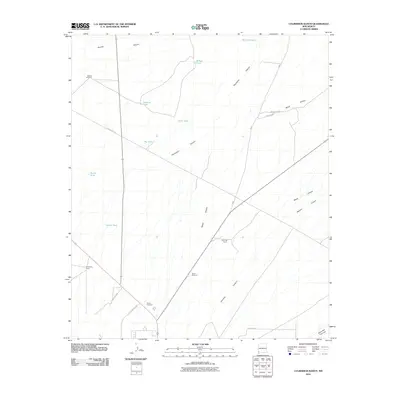
2010 Map of Culberson Ranch
USGS Topo · Published 2010About this map
Culberson Ranch and Reynolds Ranch anchor this landscape in the high desert of Hidalgo County, where water management is the primary architectural feature of the land. The presence of numerous named water catchments, such as Willow Tank, Tank Thirteen, and Aikers Tank, reflects the vital infrastructure required for cattle ranching in this arid New Mexico region. These tanks are often situated near the drainage systems of major geographic features like Thompson Canyon and Hoodoo Canyon.
Find a feature on this map
26 named features on this map. Tap any name to fly to it.
Don’t see what you’re looking for? This feature index may not catch every label — zoom into the map to look around manually.
Map Details
Editions of this 2010 Culberson Ranch Map
This is the sole edition of this map. No revisions or reprints were ever made.
Other maps of this area

1954 · Silver City
USGS Topo · 1:250,000

1958 · Silver City
USGS Topo · 1:250,000

1959 · Redrock
USGS Topo · 1:62,500

1959 · Canador Peak
USGS Topo · 1:62,500

1962 · Silver City
USGS Topo · 1:250,000

1962 · Lisbon
USGS Topo · 1:24,000

1963 · Lordsburg
USGS Topo · 1:24,000

1963 · Gold Hill
USGS Topo · 1:24,000

1963 · Culberson Ranch
USGS Topo · 1:24,000

1964 · Gary
USGS Topo · 1:24,000