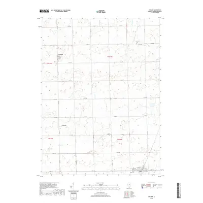
2018 Map of Cullom
USGS Topo · Published 2018About this map
Cullom anchors the southeastern corner of this Illinois landscape, where a structured grid of rural roads connects the small agricultural settlements of Emington and Griswold. The terrain is defined by the gentle drainage patterns of Gooseberry Cr, Broughton Cr, and Fivemile Cr, which wind through the township sections of Livingston County. This 2018 survey reveals the enduring presence of several community landmarks, including Saint John's Catholic Cem and West Lawn Cem situated on the edges of Cullom. Further north and west, the map identifies the Sullivan Center Cem and Broughton Cem, offering valuable touchstones for those tracing family history in the prairie lands between the major county routes.
Find a feature on this map
39 named features on this map. Tap any name to fly to it.
Don’t see what you’re looking for? This feature index may not catch every label — zoom into the map to look around manually.
Map Details
Editions of this 2018 Cullom Map
This is the sole edition of this map. No revisions or reprints were ever made.
Other maps of this area

1923 · Herscher
USGS Topo · 1:62,500

1925 · Herscher
USGS Topo · 1:62,500

1944 · Piper City
USGS Topo · 1:48,000

1947 · Piper City
USGS Topo · 1:62,500

1947 · Cullom
USGS Topo · 1:62,500

1948 · Dwight
USGS Topo · 1:62,500

1949 · Cullom
USGS Topo · 1:62,500

1950 · Dwight
USGS Topo · 1:62,500

1958 · Aurora
USGS Topo · 1:250,000

1958 · Peoria
USGS Topo · 1:250,000