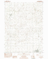
2024 Map of Cullom
USGS Topo · Published 2024About this map
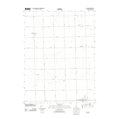
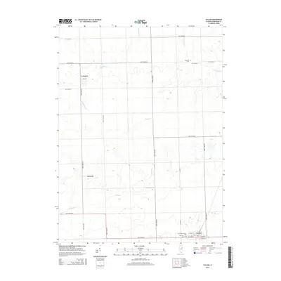
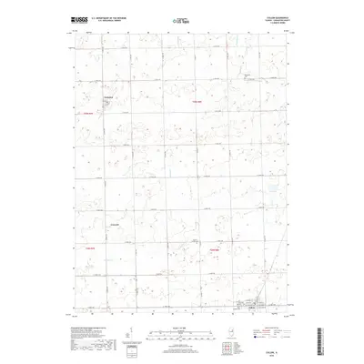
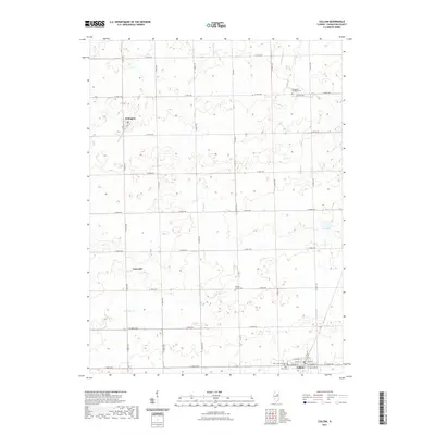
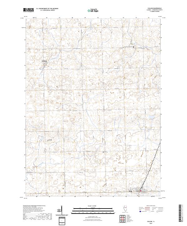
The agricultural landscape of Cullom and the surrounding Livingston County countryside is defined by a rigorous grid of section-line roads and the winding paths of local waterways. Small settlements like Emington and Griswold serve as focal points within this rural expanse, connected by a network of thoroughfares such as Co Hwy 3 and E 2500 N Rd. The drainage of the prairie is visible through the meandering courses of Gooseberry Creek, Fivemile Creek, and Broughton Creek, which disrupt the geometric precision of the township roads.
Find a feature on this map
30 named features on this map. Tap any name to fly to it.
Don’t see what you’re looking for? This feature index may not catch every label — zoom into the map to look around manually.
Map Details
Editions of this 2024 Cullom Map
This is the sole edition of this map. No revisions or reprints were ever made.
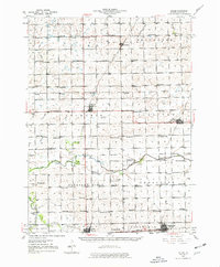
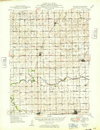
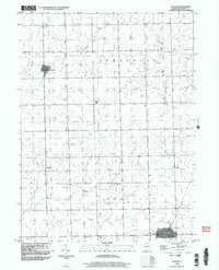
Historical Maps of Cullom Through Time
9 maps found