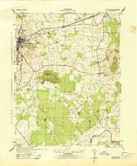
1944 Map of Culpeper
USGS Topo · Published 1944About this map
Culpeper serves as the focal point of this 1944 War Department survey, showing the town's layout just before the post-war expansion. The map details vital infrastructure of the era, from the Southern railroad line to the Fairground and a local Sawmill. Religious and commemorative sites are prominent, including the U S National Cemetery, the Masonic Cemetery, and several rural houses of worship such as Shiloh Church and Poplar Ridge Church.
Find a feature on this map
26 named features on this map. Tap any name to fly to it.
Don’t see what you’re looking for? This feature index may not catch every label — zoom into the map to look around manually.
Map Details
Editions of this 1944 Culpeper Map
This is the sole edition of this map. No revisions or reprints were ever made.
Other maps of this area

1887 · Spottsylvania
USGS Topo · 1:125,000

1892 · Spottsylvania
USGS Topo · 1:125,000

1892 · Gordonsville
USGS Topo · 1:125,000

1893 · Luray
USGS Topo · 1:125,000

1894 · Warrenton
USGS Topo · 1:125,000

1894 · Warrenton
USGS Topo · 1:62,500

1905 · Luray
USGS Topo · 1:125,000

1927 · Remington
USGS Topo · 1:48,000

1930 · Warrenton
USGS Topo · 1:62,500

1943 · Germanna Bridge
USGS Topo · 1:24,000