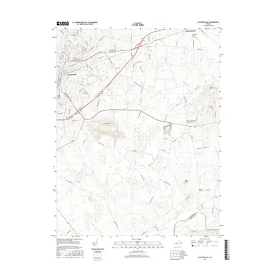
2016 Map of Culpeper East
USGS Topo · Published 2016About this map
Mt Pony rises sharply above the surrounding Virginia landscape as the most prominent geological landmark east of Culpeper. This 2016 survey captures the expanding residential and commercial footprint of the town as it moves toward the Culpeper Basin and the historic crossroads of Brandy Station. The terrain is defined by a dense network of drainage systems, including Mountain Run and Sumerduck Run, which flow toward the southern border defined by the Rapidan River.
Find a feature on this map
97 named features on this map. Tap any name to fly to it.
Don’t see what you’re looking for? This feature index may not catch every label — zoom into the map to look around manually.
Map Details
Editions of this 2016 Culpeper East Map
This is the sole edition of this map. No revisions or reprints were ever made.
Other maps of this area

1887 · Spottsylvania
USGS Topo · 1:125,000

1892 · Spottsylvania
USGS Topo · 1:125,000

1892 · Gordonsville
USGS Topo · 1:125,000

1893 · Luray
USGS Topo · 1:125,000

1894 · Warrenton
USGS Topo · 1:125,000

1894 · Warrenton
USGS Topo · 1:62,500

1905 · Luray
USGS Topo · 1:125,000

1927 · Remington
USGS Topo · 1:48,000

1930 · Warrenton
USGS Topo · 1:62,500

1943 · Germanna Bridge
USGS Topo · 1:24,000