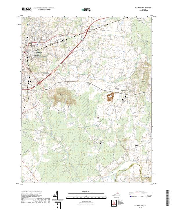
2022 Map of Culpeper East
USGS Topo · Published 2022About this map
Culpeper serves as the regional hub in this 2022 survey, showing a landscape defined by its historical roots and modern infrastructure. The Culpeper County Courthouse stands as a central landmark, while the Germanna Community College - Daniel Technology Center reflects the area's educational growth. Significant genealogical data is preserved through numerous family and congregational burial grounds, including the Bell Family Cem, Guinn Colvin Cem, and the Ashby-Covington Family Cem. Outside the town center, smaller settlements like Brandy Station, Stevensburg, and Batna are connected by a network of runs and creeks. The terrain is marked by prominent elevations such as Mt Pony and Coles Hill, with Mountain Run and Sumerduck Run draining the Piedmont landscape toward the Rapidan River at the southern boundary. This map captures the intersection of Virginia's historic settlement patterns with contemporary land use.
Find a feature on this map
120 named features on this map. Tap any name to fly to it.
Don’t see what you’re looking for? This feature index may not catch every label — zoom into the map to look around manually.
Map Details
Editions of this 2022 Culpeper East Map
This is the sole edition of this map. No revisions or reprints were ever made.
Other maps of this area

1887 · Spottsylvania
USGS Topo · 1:125,000

1892 · Spottsylvania
USGS Topo · 1:125,000

1892 · Gordonsville
USGS Topo · 1:125,000

1893 · Luray
USGS Topo · 1:125,000

1894 · Warrenton
USGS Topo · 1:125,000

1894 · Warrenton
USGS Topo · 1:62,500

1905 · Luray
USGS Topo · 1:125,000

1927 · Remington
USGS Topo · 1:48,000

1930 · Warrenton
USGS Topo · 1:62,500

1943 · Germanna Bridge
USGS Topo · 1:24,000