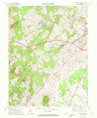
1971 Map of Culpeper West
USGS Topo · Published 1972About this map
Bruce Mountain and Fox Mtn dominate the western horizon of this Piedmont landscape, overlooking a network of agricultural communities and rural outposts. The western outskirts of Culpeper are visible at the upper right, where the town's Filtration Plant and local Hospital indicate mid-century municipal growth. The Southern railroad line cuts through the eastern portion of the map, serving as a primary corridor for small settlements like Winston and Mitchells.
Find a feature on this map
46 named features on this map. Tap any name to fly to it.
Don’t see what you’re looking for? This feature index may not catch every label — zoom into the map to look around manually.
Map Details
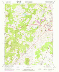
Editions of this 1971 Culpeper West Map
2 editions found
Other maps of this area

1887 · Spottsylvania
USGS Topo · 1:125,000

1892 · Spottsylvania
USGS Topo · 1:125,000

1892 · Gordonsville
USGS Topo · 1:125,000

1893 · Luray
USGS Topo · 1:125,000

1894 · Warrenton
USGS Topo · 1:125,000

1894 · Warrenton
USGS Topo · 1:62,500

1905 · Luray
USGS Topo · 1:125,000

1927 · Remington
USGS Topo · 1:48,000

1930 · Warrenton
USGS Topo · 1:62,500

1943 · Culpeper
USGS Topo · 1:24,000