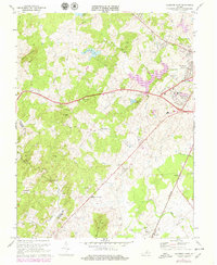
1971 Map of Culpeper West
USGS Topo · Published 1979About this map
Lake Pelham and the meandering Mountain Run dominate the landscape west of Culpeper, serving as a focal point for local development in the early 1970s. This survey, revised with data through 1977, reveals a rural Virginia county transitioning toward modern infrastructure while maintaining its deep agricultural roots. Small settlements like Merrimac and White Shop are connected by a network of local roads and the Southern railroad line, which passes through the community of Winston. The presence of numerous small churches, including Rising Zion Ch and New Mt Olive Ch, alongside old family burying grounds and the Fairview Cem, highlights the area's genealogical significance. Of particular interest are the land use patterns around Bruce Mountain and Cedar Mountain, where the map includes purple revisions indicating fence and field lines as they appeared during aerial surveys in the late 1970s.
Find a feature on this map
53 named features on this map. Tap any name to fly to it.
Don’t see what you’re looking for? This feature index may not catch every label — zoom into the map to look around manually.
Map Details
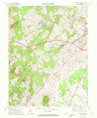
Editions of this 1971 Culpeper West Map
2 editions found
Other maps of this area

1887 · Spottsylvania
USGS Topo · 1:125,000

1892 · Spottsylvania
USGS Topo · 1:125,000

1892 · Gordonsville
USGS Topo · 1:125,000

1893 · Luray
USGS Topo · 1:125,000

1894 · Warrenton
USGS Topo · 1:125,000

1894 · Warrenton
USGS Topo · 1:62,500

1905 · Luray
USGS Topo · 1:125,000

1927 · Remington
USGS Topo · 1:48,000

1930 · Warrenton
USGS Topo · 1:62,500

1943 · Culpeper
USGS Topo · 1:24,000