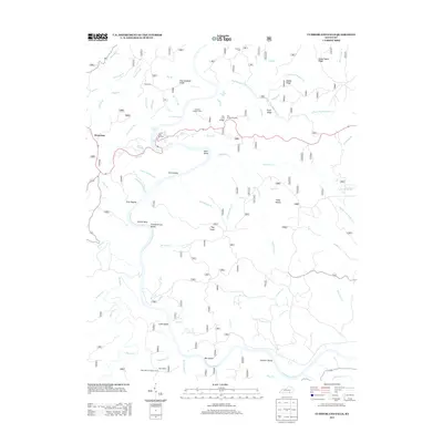
2013 Map of Cumberland Falls
USGS Topo · Published 2013About this map
Cumberland Falls and the winding Cumberland River anchor this detailed study of the McCreary County landscape in 2013. The terrain is defined by a dense network of ridges and water gaps, including Dog Slaughter Ridge and Sandy Poplar Ridge. Local history is preserved in small family burial grounds such as Mariar Cem and Ridener Cem, while the settlement of Honeybee sits near the western edge.
Find a feature on this map
76 named features on this map. Tap any name to fly to it.
Don’t see what you’re looking for? This feature index may not catch every label — zoom into the map to look around manually.
Map Details
Editions of this 2013 Cumberland Falls Map
This is the sole edition of this map. No revisions or reprints were ever made.
Other maps of this area

1890 · Williamsburg
USGS Topo · 1:125,000

1894 · Williamsburg
USGS Topo · 1:125,000

1952 · Wofford
USGS Topo · 1:24,000

1952 · Hail
USGS Topo · 1:24,000

1952 · Vox
USGS Topo · 1:24,000

1952 · Hollyhill
USGS Topo · 1:24,000

1952 · Wiborg
USGS Topo · 1:24,000

1952 · Cumberland Falls
USGS Topo · 1:24,000

1952 · Williamsburg
USGS Topo · 1:24,000

1952 · Whitley City
USGS Topo · 1:24,000