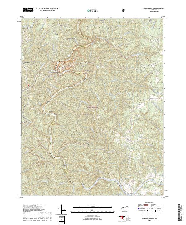
2022 Map of Cumberland Falls
USGS Topo · Published 2022About this map
The rugged Cumberland River basin in McCreary and Whitley Counties dominates this landscape, characterized by the winding waterway and its numerous named shoals and bends. Within the Daniel Boone National Forest, the map captures the intricate drainage network of the region, where Marsh Creek and Jellico Creek feed into the river system. The settlement of Honeybee sits on the western edge of the quadrangle, connected to the interior by routes like Hicks Perry Rd and Bearwallow Rd.
Find a feature on this map
86 named features on this map. Tap any name to fly to it.
Don’t see what you’re looking for? This feature index may not catch every label — zoom into the map to look around manually.
Map Details
Editions of this 2022 Cumberland Falls Map
This is the sole edition of this map. No revisions or reprints were ever made.
Other maps of this area

1890 · Williamsburg
USGS Topo · 1:125,000

1894 · Williamsburg
USGS Topo · 1:125,000

1952 · Wofford
USGS Topo · 1:24,000

1952 · Hail
USGS Topo · 1:24,000

1952 · Vox
USGS Topo · 1:24,000

1952 · Hollyhill
USGS Topo · 1:24,000

1952 · Wiborg
USGS Topo · 1:24,000

1952 · Cumberland Falls
USGS Topo · 1:24,000

1952 · Williamsburg
USGS Topo · 1:24,000

1952 · Whitley City
USGS Topo · 1:24,000