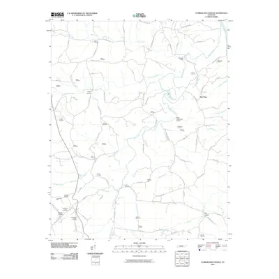
2010 Map of Cumberland Furnace
USGS Topo · Published 2010About this map
The iron-working legacy of Montgomery and Dickson counties is etched into the landscape surrounding the Cumberland Furnace Post Office. This map details a terrain shaped by historic industry, most notably at the Cumberland Mines and the Tabor Ore Bank, where iron ore was extracted to fuel the local furnaces. The drainage network of Bartons Creek and its many tributaries, such as Little Bartons Creek and Furnace Creek, defines the local topography, carving out named hollows like Sugar Hollow and Washer Hollow.
Find a feature on this map
89 named features on this map. Tap any name to fly to it.
Don’t see what you’re looking for? This feature index may not catch every label — zoom into the map to look around manually.
Map Details
Editions of this 2010 Cumberland Furnace Map
This is the sole edition of this map. No revisions or reprints were ever made.
Other maps of this area

1930 · White Bluff
USGS Topo · 1:62,500

1933 · White Bluff
USGS Topo · 1:62,500

1956 · Nashville
USGS Topo · 1:250,000

1957 · Cheatham Dam
USGS Topo · 1:24,000

1957 · Henrietta
USGS Topo · 1:24,000

1958 · Charlotte
USGS Topo · 1:24,000

1958 · Cumberland Furnace
USGS Topo · 1:24,000
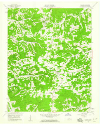
1958 · Vanleer
USGS Topo · 1:24,000
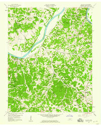
1958 · Palmyra
USGS Topo · 1:24,000
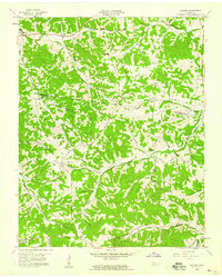
1958 · Slayden
USGS Topo · 1:24,000