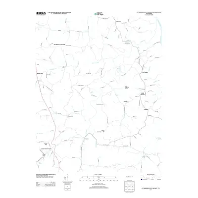
2013 Map of Cumberland Furnace
USGS Topo · Published 2013About this map
Cumberland Furnace and the surrounding Tennessee countryside are detailed in this 21st-century study of the landscape south of the Cumberland River. The area is characterized by its agricultural roots and deep-cut valleys like Washer Hollow and Sally Hagewood Hollow. Small settlements and crossroads such as McAllisters Crossroads, Glenwylde, and Stayton are connected by a network of winding roads including Old Highway 48 and Southside Rd. The map illustrates a rural landscape where local geography is often named for early settlers, seen in features like Hunley Branch and Fatty Bread Br. Near the southern boundary, topographical markers like Butcher Ridge and Gallion Hill overlook the drainage of Furnace Cr and Bartons Cr. This record is particularly valuable for genealogists and local historians tracing family lands near New Hope, Rock Springs, and the community of Coaling.
Find a feature on this map
125 named features on this map. Tap any name to fly to it.
Don’t see what you’re looking for? This feature index may not catch every label — zoom into the map to look around manually.
Map Details
Editions of this 2013 Cumberland Furnace Map
This is the sole edition of this map. No revisions or reprints were ever made.
Other maps of this area

1930 · White Bluff
USGS Topo · 1:62,500

1933 · White Bluff
USGS Topo · 1:62,500

1956 · Nashville
USGS Topo · 1:250,000

1957 · Cheatham Dam
USGS Topo · 1:24,000

1957 · Henrietta
USGS Topo · 1:24,000

1958 · Charlotte
USGS Topo · 1:24,000

1958 · Cumberland Furnace
USGS Topo · 1:24,000
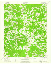
1958 · Vanleer
USGS Topo · 1:24,000
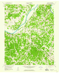
1958 · Palmyra
USGS Topo · 1:24,000
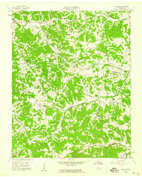
1958 · Slayden
USGS Topo · 1:24,000