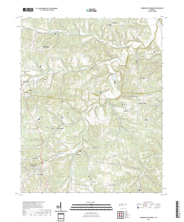
2022 Map of Cumberland Furnace
USGS Topo · Published 2022About this map
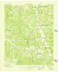
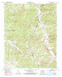
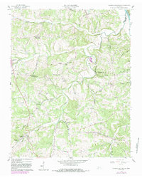
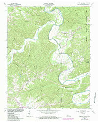
Cumberland Furnace serves as the focal point for this survey of rural Tennessee at the meeting of Dickson, Montgomery, and Cheatham counties. The settlement pattern is defined by family-named cemeteries and landmarks scattered across the creek-carved landscape, including the Isham J Davis Family Cem, Bull and Wall Cem, and Nicks Cem. The local geography is etched by water and time, featuring notable terrain such as Sally Hagewood Hollow, Butcher Ridge, and the curiously spaced S-U-G-A-R H-O-L-L-O-W. Movement through the area relies on historic creek-side routes like Bartons Creek and Louise Cr, connecting small communities like Stayton, Coaling, and McAllisters Crossroads. This map provides a detailed view of a landscape where church life, such as at Alva Baptist Church, and local genealogy remain deeply tied to the hills and hollows.
Find a feature on this map
125 named features on this map. Tap any name to fly to it.
Don’t see what you’re looking for? This feature index may not catch every label — zoom into the map to look around manually.
Map Details
Editions of this 2022 Cumberland Furnace Map
This is the sole edition of this map. No revisions or reprints were ever made.
Historical Maps of Southside Through Time
7 maps found