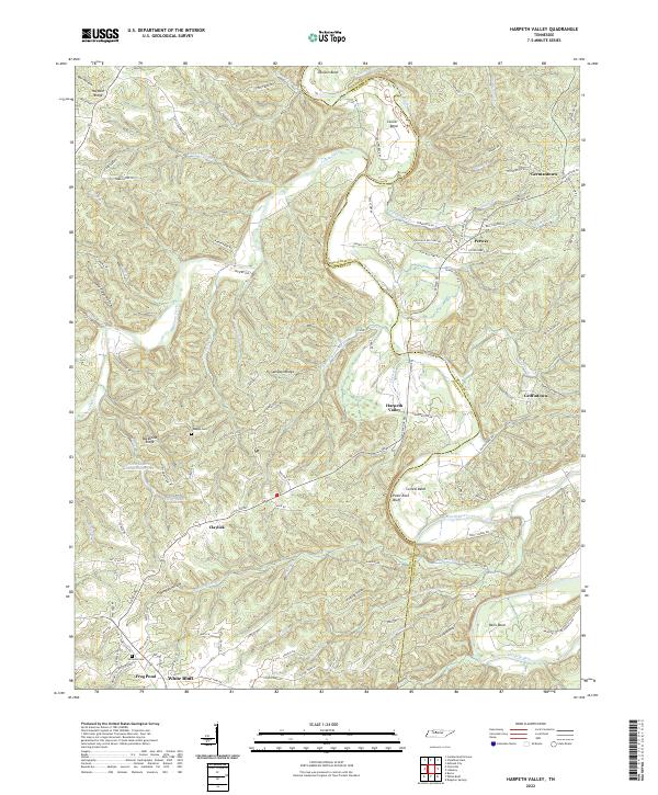
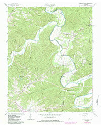
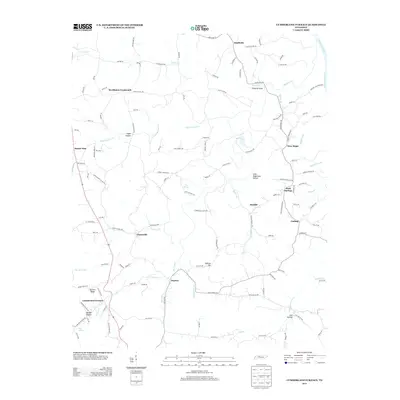
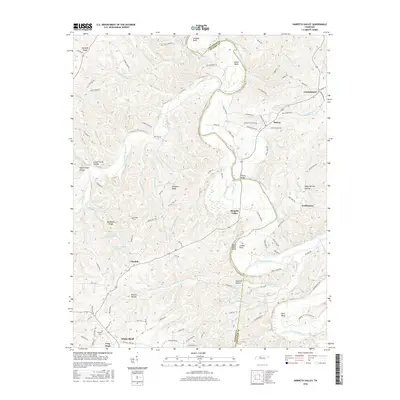
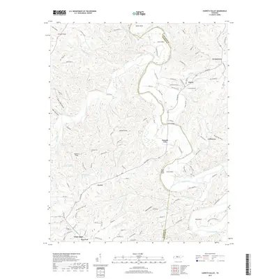
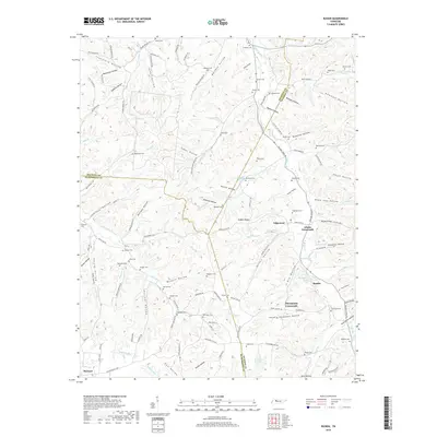
2022 Map of Harpeth Valley
USGS Topo · Published 2022About this map
Harpeth River meanders through the central corridor of this Tennessee landscape, defining the boundary between Cheatham and Dickson counties. The river's path is marked by dramatic geographical features such as Paint Rock Bluff and the sharp bend known as the Narrows of the Harpeth. This modern topographic study reveals a rural topography characterized by deep hollows like Lower Forge Hollow and prominent ridges such as Sampson Ridge. Small, established communities including Germantown, Petway, and White Bluff are linked by a network of local roads such as Claylick Rd and Taylortown Rd. For genealogists and local historians, the placement of the Nosegay Cem and Williams Cem provides essential points of reference for family research. The map also highlights unique man-made water features, including the Hava-Lakatu Lakes west of Claylick.
Find a feature on this map
110 named features on this map. Tap any name to fly to it.
Don’t see what you’re looking for? This feature index may not catch every label — zoom into the map to look around manually.
Map Details
Editions of this 2022 Harpeth Valley Map
This is the sole edition of this map. No revisions or reprints were ever made.
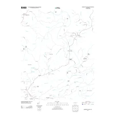
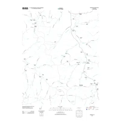
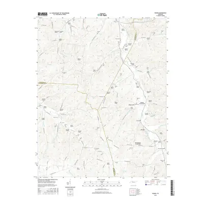
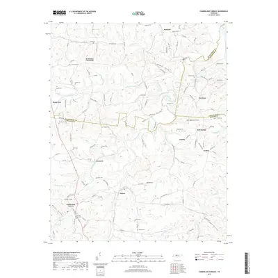
Historical Maps of White Bluff Through Time
19 maps found
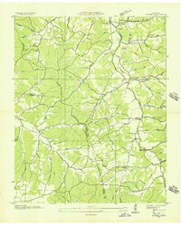
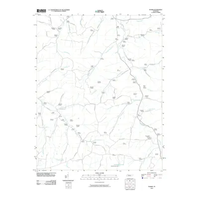
1936 Ruskin
Dickson County, TN
1953 Ruskin
Dickson County, TN
1958 Cumberland Furnace
Dickson County, TN
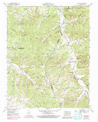
1966 Harpeth Valley
Dickson County, TN
2010 Cumberland Furnace
Dickson County, TN
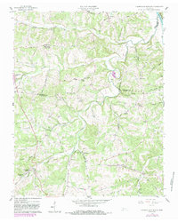
2010 Harpeth Valley
Dickson County, TN
2010 Ruskin
Dickson County, TN
2013 Cumberland Furnace
Dickson County, TN
2013 Harpeth Valley
Dickson County, TN
2013 Ruskin
Dickson County, TN
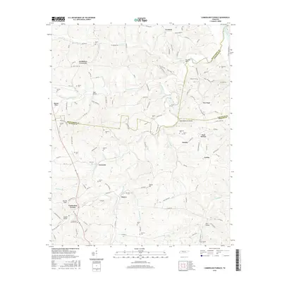
2016 Cumberland Furnace
Dickson County, TN
2016 Harpeth Valley
Dickson County, TN
2016 Ruskin
Dickson County, TN
2019 Cumberland Furnace
Dickson County, TN
2019 Harpeth Valley
Dickson County, TN
2019 Ruskin
Dickson County, TN
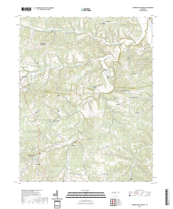
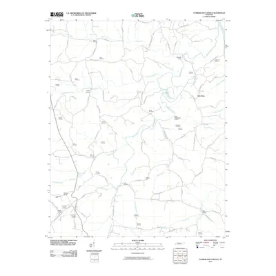
2022 Cumberland Furnace
Dickson County, TN
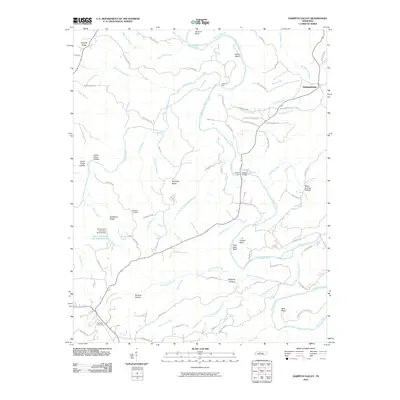
2022 Harpeth Valley
Dickson County, TN
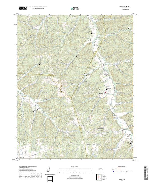
2022 Ruskin
Dickson County, TN