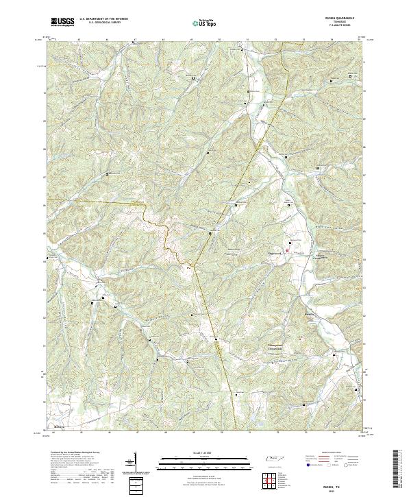
2022 Map of Ruskin
USGS Topo · Published 2022About this map
Ruskin and the surrounding hollows of Middle Tennessee are defined by a complex network of ridges and watercourses where Houston, Humphreys, and Dickson counties meet. The landscape is deeply incised with family-named drainages such as Wallace Hollow, Masterson Hollow, and Burgess Hollow, illustrating a long history of generational land division. Significant water features like Ruskin Cave Spring and Rogers Spring likely served as vital local resources for the early settlements at Edgewood and Thompsons Crossroads.
Find a feature on this map
126 named features on this map. Tap any name to fly to it.
Don’t see what you’re looking for? This feature index may not catch every label — zoom into the map to look around manually.
Map Details
Editions of this 2022 Ruskin Map
This is the sole edition of this map. No revisions or reprints were ever made.
Other maps of this area

1931 · Erin
USGS Topo · 1:62,500

1936 · Gorman
USGS Topo · 1:24,000

1936 · Tantrough Hollow
USGS Topo · 1:24,000

1936 · Woolworth
USGS Topo · 1:24,000

1936 · Ruskin
USGS Topo · 1:24,000

1936 · Tennessee City
USGS Topo · 1:24,000

1936 · Dickson
USGS Topo · 1:24,000
1952 · Mc Ewen
USGS Topo · 1:24,000
1952 · Woolworth
USGS Topo · 1:24,000

1953 · Dickson
USGS Topo · 1:24,000