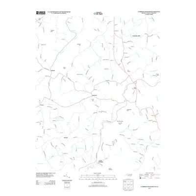
2013 Map of Cumberland Knob
USGS Topo · Published 2013About this map
Cumberland Knob stands as a prominent landmark along the border of North Carolina and Virginia in this 2013 survey. The landscape is defined by the headwaters of numerous waterways, including the Fisher River and the eastern and western forks of Chestnut Cr. Settlements such as Edmonds, Ennice, and Barrett are connected by a network of winding roads like NC-1443 and Va-850, reflecting the rural character of the region.
Find a feature on this map
172 named features on this map. Tap any name to fly to it.
Don’t see what you’re looking for? This feature index may not catch every label — zoom into the map to look around manually.
Map Details
Editions of this 2013 Cumberland Knob Map
This is the sole edition of this map. No revisions or reprints were ever made.
Other maps of this area

1889 · Hillsville
USGS Topo · 1:125,000

1889 · Wytheville
USGS Topo · 1:125,000

1889 · Wilkesboro
USGS Topo · 1:125,000

1891 · Wilkesboro
USGS Topo · 1:125,000

1891 · Yadkinville
USGS Topo · 1:125,000

1892 · Hillsville
USGS Topo · 1:125,000

1892 · Wytheville
USGS Topo · 1:125,000

1893 · Yadkinville
USGS Topo · 1:125,000

1896 · Hillsville
USGS Topo · 1:125,000

1930 · Independence
USGS Topo · 1:48,000