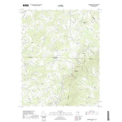
2019 Map of Cumberland Knob
USGS Topo · Published 2019About this map
The Blue Ridge Parkway winds through the elevated landscape where the Virginia and North Carolina state line meets the intersection of Grayson, Alleghany, and Surry counties. This high-altitude region is anchored by Cumberland Knob and defined by the headwaters of numerous mountain streams, including Fisher River and the eastern and western forks of Chestnut Creek. The settlement pattern reflects a deeply rooted Appalachian rural character, with small communities like Low Gap and Ennice dispersed among prominent terrain features such as Saddle Mtn.
Find a feature on this map
155 named features on this map. Tap any name to fly to it.
Don’t see what you’re looking for? This feature index may not catch every label — zoom into the map to look around manually.
Map Details
Editions of this 2019 Cumberland Knob Map
This is the sole edition of this map. No revisions or reprints were ever made.
Other maps of this area

1889 · Hillsville
USGS Topo · 1:125,000

1889 · Wytheville
USGS Topo · 1:125,000

1889 · Wilkesboro
USGS Topo · 1:125,000

1891 · Wilkesboro
USGS Topo · 1:125,000

1891 · Yadkinville
USGS Topo · 1:125,000

1892 · Hillsville
USGS Topo · 1:125,000

1892 · Wytheville
USGS Topo · 1:125,000

1893 · Yadkinville
USGS Topo · 1:125,000

1896 · Hillsville
USGS Topo · 1:125,000

1930 · Independence
USGS Topo · 1:48,000