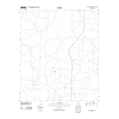
2010 Map of Cumbie Draw NE
USGS Topo · Published 2010About this map
The North Concho River flows through the southwestern corner of this Sterling County landscape, a region defined by ranching operations and seasonal watercourses. As of the early 2010s, the area's development is centered on established ranching properties such as Reed Ranch, which sits near the junction of several drainage systems. The presence of the V and J Ranch Airport indicates the scale of these West Texas holdings and the necessity of private aviation for navigating this expansive terrain. A network of local routes, including Kinnebrew Ln, connects the various homesteads and range lands. The drainage pattern is complex, with Hackberry Creek, Willow Creek, and Chalk Creek carving paths toward the river basin, illustrating the fundamental relationship between water sources and land use in this semi-arid environment.
Find a feature on this map
9 named features on this map. Tap any name to fly to it.
Don’t see what you’re looking for? This feature index may not catch every label — zoom into the map to look around manually.
Map Details
Editions of this 2010 Cumbie Draw NE Map
This is the sole edition of this map. No revisions or reprints were ever made.
Other maps of this area

1954 · Big Spring
USGS Topo · 1:250,000

1954 · San Angelo
USGS Topo · 1:250,000

1958 · San Angelo
USGS Topo · 1:250,000

1958 · Big Spring
USGS Topo · 1:250,000

1959 · McWhorter Mountain
USGS Topo · 1:24,000

1963 · Cumbie Draw
USGS Topo · 1:24,000

1963 · Glass Ranch
USGS Topo · 1:24,000

1963 · Cumbie Draw NE
USGS Topo · 1:24,000

1963 · Buffalo Draw
USGS Topo · 1:24,000

1963 · Hayrick Mountain
USGS Topo · 1:24,000