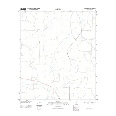
2013 Map of Cumbie Draw NE
USGS Topo · Published 2013About this map
The N Concho River winds through the southern landscape of this Sterling County region, where the terrain is defined by a network of seasonal drainages and local ranching infrastructure. Private landholdings like Reed Ranch and the associated W H Reed Reservoir indicate the importance of water management in this semi-arid part of West Texas. The drainage system is extensive, featuring several named tributaries including Willow Cr, Chalk Cr, and Hackberry Cr that feed toward the main river valley. This 2013 survey illustrates the modern rural road network, notably Kinnebrew Ln and Co Rd 403, which provide access to the isolated ranch properties and water resources that sustain the local agricultural economy.
Find a feature on this map
8 named features on this map. Tap any name to fly to it.
Don’t see what you’re looking for? This feature index may not catch every label — zoom into the map to look around manually.
Map Details
Editions of this 2013 Cumbie Draw NE Map
This is the sole edition of this map. No revisions or reprints were ever made.
Other maps of this area

1954 · Big Spring
USGS Topo · 1:250,000

1954 · San Angelo
USGS Topo · 1:250,000

1958 · San Angelo
USGS Topo · 1:250,000

1958 · Big Spring
USGS Topo · 1:250,000

1959 · McWhorter Mountain
USGS Topo · 1:24,000

1963 · Cumbie Draw
USGS Topo · 1:24,000

1963 · Glass Ranch
USGS Topo · 1:24,000

1963 · Cumbie Draw NE
USGS Topo · 1:24,000

1963 · Buffalo Draw
USGS Topo · 1:24,000

1963 · Hayrick Mountain
USGS Topo · 1:24,000