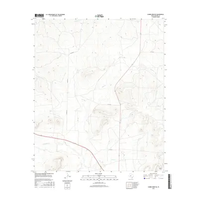
2016 Map of Cumbie Draw NE
USGS Topo · Published 2016About this map
The N Concho River flows through the southern reaches of this West Texas terrain, serving as a primary hydrological marker in an otherwise arid expanse of Sterling County. The landscape is defined by its drainage patterns, with Willow Creek and Chalk Creek cutting through the topography toward the main river valley. This 2016 survey shows the modern rural road network, including the long stretch of Kinnebrew Ln that traverses the western side of the quadrangle.
Find a feature on this map
9 named features on this map. Tap any name to fly to it.
Don’t see what you’re looking for? This feature index may not catch every label — zoom into the map to look around manually.
Map Details
Editions of this 2016 Cumbie Draw NE Map
This is the sole edition of this map. No revisions or reprints were ever made.
Other maps of this area

1954 · Big Spring
USGS Topo · 1:250,000

1954 · San Angelo
USGS Topo · 1:250,000

1958 · San Angelo
USGS Topo · 1:250,000

1958 · Big Spring
USGS Topo · 1:250,000

1959 · McWhorter Mountain
USGS Topo · 1:24,000

1963 · Cumbie Draw
USGS Topo · 1:24,000

1963 · Glass Ranch
USGS Topo · 1:24,000

1963 · Cumbie Draw NE
USGS Topo · 1:24,000

1963 · Buffalo Draw
USGS Topo · 1:24,000

1963 · Hayrick Mountain
USGS Topo · 1:24,000