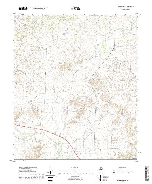
2022 Map of Cumbie Draw NE
USGS Topo · Published 2022About this map
The N Concho River winds through this Sterling County landscape, defining a vital corridor in a region characterized by intermittent drainage and significant topographical relief. This 2022 survey documents the contemporary rural infrastructure of the Cumbie Draw NE area, where family-named routes like Kinnebrew Ln provide access to the high ground above the river valley. The hydrological network is the primary defining feature of the terrain, with Hackberry Cr in the north and the expansive Bodcaw Draw in the southeast corner. Local travel is facilitated by a series of county roads including Co Rd 404-P and Co Rd 403-P, which navigate the draws and ridges. These waterways, including Willow Cr and Chalk Cr, represent the natural drainages that have shaped the ranching and agricultural patterns of this West Texas territory.
Find a feature on this map
10 named features on this map. Tap any name to fly to it.
Don’t see what you’re looking for? This feature index may not catch every label — zoom into the map to look around manually.
Map Details
Editions of this 2022 Cumbie Draw NE Map
This is the sole edition of this map. No revisions or reprints were ever made.
Other maps of this area

1954 · Big Spring
USGS Topo · 1:250,000

1954 · San Angelo
USGS Topo · 1:250,000

1958 · San Angelo
USGS Topo · 1:250,000

1958 · Big Spring
USGS Topo · 1:250,000

1959 · McWhorter Mountain
USGS Topo · 1:24,000

1963 · Cumbie Draw
USGS Topo · 1:24,000

1963 · Glass Ranch
USGS Topo · 1:24,000

1963 · Cumbie Draw NE
USGS Topo · 1:24,000

1963 · Buffalo Draw
USGS Topo · 1:24,000

1963 · Hayrick Mountain
USGS Topo · 1:24,000