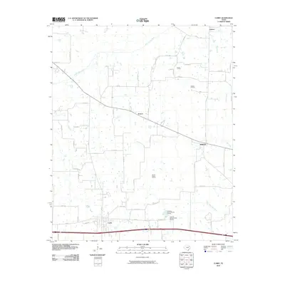
2010 Map of Cumby
USGS Topo · Published 2010About this map
Cumby sits at the southern edge of this West Texas landscape, where the local road network radiates toward smaller outlying settlements and agricultural crossings. North of town, the terrain is defined by the winding course of the South Sulphur River and numerous tributaries such as Big Creek and Merritt Creek. The map documents a rural environment transitioning between traditional farming lands and modern aviation, as seen at the Morris Manor Airport. Small, historically significant locales like Ridgeway, Branom, and Emblem are preserved here, connected by a web of farm-to-market roads and county routes. Genealogists will find the locations of Oakland Cemetery and Stewart Cemetery particularly valuable for tracing local family histories. The presence of Texas No Name Number 39 Dam and other water management features reflects the local reliance on the river basin system for irrigation and livestock.
Find a feature on this map
50 named features on this map. Tap any name to fly to it.
Don’t see what you’re looking for? This feature index may not catch every label — zoom into the map to look around manually.
Map Details
Editions of this 2010 Cumby Map
This is the sole edition of this map. No revisions or reprints were ever made.
Other maps of this area

1953 · Texarkana
USGS Topo · 1:250,000

1956 · Texarkana
USGS Topo · 1:250,000

1962 · Lone Oak North
USGS Topo · 1:24,000

1962 · Miller Grove
USGS Topo · 1:24,000

1962 · Brashear
USGS Topo · 1:24,000

1964 · Cumby
USGS Topo · 1:24,000

1964 · Commerce South
USGS Topo · 1:24,000

1964 · Gafford Chapel
USGS Topo · 1:24,000

1964 · Klondike
USGS Topo · 1:24,000

1964 · Commerce North
USGS Topo · 1:24,000