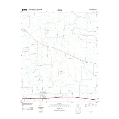
2013 Map of Cumby
USGS Topo · Published 2013About this map
Cumby serves as the primary population center in this northeastern Texas landscape, situated along a vital transportation corridor that includes a major interstate and several farm-to-market roads. The town's grid is detailed with street names like W Main St and Depot St, reflecting its historical connection to the local transit network. Surrounding the town, the terrain is defined by the drainage basins of the S Sulphur River and White Oak Cr, which provide a natural structure to the rural surroundings.
Find a feature on this map
79 named features on this map. Tap any name to fly to it.
Don’t see what you’re looking for? This feature index may not catch every label — zoom into the map to look around manually.
Map Details
Editions of this 2013 Cumby Map
This is the sole edition of this map. No revisions or reprints were ever made.
Other maps of this area

1953 · Texarkana
USGS Topo · 1:250,000

1956 · Texarkana
USGS Topo · 1:250,000

1962 · Lone Oak North
USGS Topo · 1:24,000

1962 · Miller Grove
USGS Topo · 1:24,000

1962 · Brashear
USGS Topo · 1:24,000

1964 · Cumby
USGS Topo · 1:24,000

1964 · Commerce South
USGS Topo · 1:24,000

1964 · Gafford Chapel
USGS Topo · 1:24,000

1964 · Klondike
USGS Topo · 1:24,000

1964 · Commerce North
USGS Topo · 1:24,000