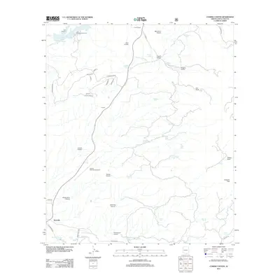
2012 Map of Cumero Canyon
USGS Topo · Published 2012About this map
The Santa Cruz River corridor south of Patagonia Lake defines the landscape of this Santa Cruz County borderlands region. In the northern section, Sonoita Creek feeds the reservoir near the Lake Patagonia Campground, while the south is characterized by the developments of Kino Springs and Beyerville. The geography is a complex network of desert drainages including Cumero Canyon, Tascála Canyon, and Wild Hog Canyon.
Find a feature on this map
56 named features on this map. Tap any name to fly to it.
Don’t see what you’re looking for? This feature index may not catch every label — zoom into the map to look around manually.
Map Details
Editions of this 2012 Cumero Canyon Map
This is the sole edition of this map. No revisions or reprints were ever made.
Other maps of this area

1904 · Patagonia
USGS Topo · 1:125,000

1905 · Patagonia
USGS Topo · 1:125,000

1905 · Nogales
USGS Topo · 1:125,000

1922 · Agus Caliente
USGS Topo · 1:62,500

1932 · Lochiel
USGS Topo · 1:62,500

1932 · Elgin
USGS Topo · 1:62,500

1933 · Calabasas
USGS Topo · 1:62,500

1940 · Elgin
USGS Topo · 1:62,500

1947 · Elgin
USGS Topo · 1:62,500

1948 · Harshaw
USGS Topo · 1:24,000