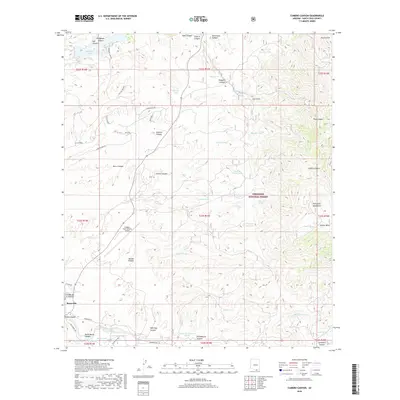
2018 Map of Cumero Canyon
USGS Topo · Published 2018About this map
The Santa Cruz River valley near the international border anchors this map of the high desert and mountain landscape of southern Arizona. The settlement of Beyerville sits at the western edge, positioned near the airport infrastructure of Nogales International Airport. This modern survey reveals a complex system of water management in an arid environment, where numerous named livestock tanks such as Chango Tank, Paja Verde Tank, and Jarillas Tank are scattered across the terrain to catch seasonal runoff. The topography is defined by the dramatic ascent into the Patagonia Mountains and the Coronado National Forest, where features like Guajalote Peak and Cumero Canyon dominate the skyline.
Find a feature on this map
69 named features on this map. Tap any name to fly to it.
Don’t see what you’re looking for? This feature index may not catch every label — zoom into the map to look around manually.
Map Details
Editions of this 2018 Cumero Canyon Map
This is the sole edition of this map. No revisions or reprints were ever made.
Other maps of this area

1904 · Patagonia
USGS Topo · 1:125,000

1905 · Patagonia
USGS Topo · 1:125,000

1905 · Nogales
USGS Topo · 1:125,000

1922 · Agus Caliente
USGS Topo · 1:62,500

1932 · Lochiel
USGS Topo · 1:62,500

1932 · Elgin
USGS Topo · 1:62,500

1933 · Calabasas
USGS Topo · 1:62,500

1940 · Elgin
USGS Topo · 1:62,500

1947 · Elgin
USGS Topo · 1:62,500

1948 · Harshaw
USGS Topo · 1:24,000