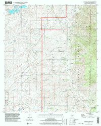
1996 Map of Cumero Canyon
USGS Topo · Published 2003About this map
Mining heritage and ranching culture define this pocket of Santa Cruz County, where the southern reaches of the Patagonia Mountains meet the Mexican border. The landscape is a complex network of canyons and gulches, including Mary Kane Canyon and Wild Hog Canyon, which historically provided the rugged paths for prospectors. Deep-seated mineral extraction is evident throughout the terrain, with prominent sites like the Three R Mine, Flux Mine, and Blue Eagle Mine scattered across the slopes.
Find a feature on this map
85 named features on this map. Tap any name to fly to it.
Don’t see what you’re looking for? This feature index may not catch every label — zoom into the map to look around manually.
Map Details
Editions of this 1996 Cumero Canyon Map
This is the sole edition of this map. No revisions or reprints were ever made.
Other maps of this area

1904 · Patagonia
USGS Topo · 1:125,000

1905 · Patagonia
USGS Topo · 1:125,000

1905 · Nogales
USGS Topo · 1:125,000

1922 · Agus Caliente
USGS Topo · 1:62,500

1932 · Lochiel
USGS Topo · 1:62,500

1932 · Elgin
USGS Topo · 1:62,500

1933 · Calabasas
USGS Topo · 1:62,500

1940 · Elgin
USGS Topo · 1:62,500

1947 · Elgin
USGS Topo · 1:62,500

1948 · Harshaw
USGS Topo · 1:24,000