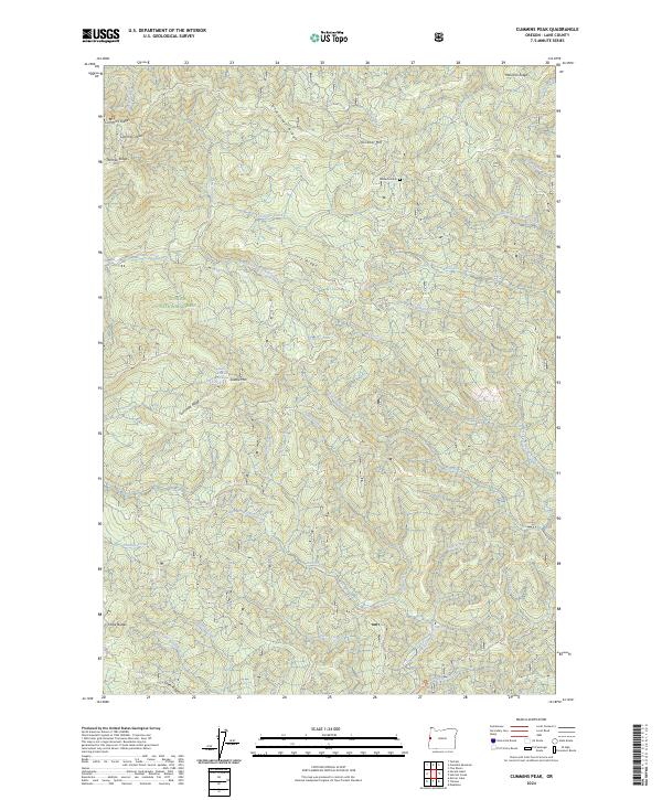
2024 Map of Cummins Peak
USGS Topo · Published 2024About this map
Cummins Creek Wilderness and Rock Creek Wilderness anchor this coastal mountain landscape within the Siuslaw National Forest. The map detail follows a complex system of ridges and drainages that flow toward the Pacific, defined by prominent elevations such as Cummins Peak, Klickitat Mtn, and the Three Buttes in the south. Of particular interest to local historians is the site of Madens Grave located near the headwaters of Maria Creek.
Find a feature on this map
47 named features on this map. Tap any name to fly to it.
Don’t see what you’re looking for? This feature index may not catch every label — zoom into the map to look around manually.
Map Details
Editions of this 2024 Cummins Peak Map
This is the sole edition of this map. No revisions or reprints were ever made.
Other maps of this area

1918 · Mapleton
USGS Topo · 1:48,000

1920 · Heceta Head
USGS Topo · 1:62,500

1922 · Waldport
USGS Topo · 1:62,500

1940 · Mapleton
USGS Topo · 1:62,500

1942 · Waldport
USGS Topo · 1:62,500

1942 · Heceta Head
USGS Topo · 1:62,500

1942 · Tidewater
USGS Topo · 1:62,500

1945 · Mapleton
USGS Topo · 1:62,500

1953 · Salem
USGS Topo · 1:250,000

1954 · Salem
USGS Topo · 1:250,000