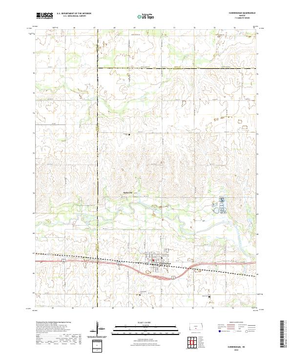
2022 Map of Cunningham
USGS Topo · Published 2022About this map
Cunningham stands as the primary hub in this portion of Kingman County, situated just south of the winding South Fork Ninnescah River. The landscape is defined by the transition from the river bottomlands to the surrounding plains, where Silver Cr and Smoots Creek drain the northern sections of the map. The area's genealogical record is well-preserved through several burial grounds, including the Dresden Cem to the northwest and the Sacred Heart Catholic Cem located near the town center.
Find a feature on this map
62 named features on this map. Tap any name to fly to it.
Don’t see what you’re looking for? This feature index may not catch every label — zoom into the map to look around manually.
Map Details
Editions of this 2022 Cunningham Map
This is the sole edition of this map. No revisions or reprints were ever made.
Other maps of this area

1892 · Kingman
USGS Topo · 1:125,000

1892 · Pratt
USGS Topo · 1:125,000

1894 · Kingman
USGS Topo · 1:125,000

1894 · Pratt
USGS Topo · 1:125,000

1955 · Pratt
USGS Topo · 1:250,000

1959 · Pratt
USGS Topo · 1:250,000

1966 · Cunningham
USGS Topo · 1:24,000
1966 · St Leo
USGS Topo · 1:24,000
1967 · Willowdale
USGS Topo · 1:24,000

1967 · Penalosa
USGS Topo · 1:24,000