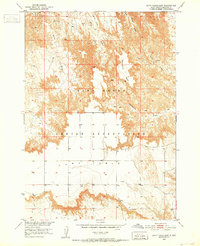
1950 Map of Cuny Table East
USGS Topo · Published 1973About this map
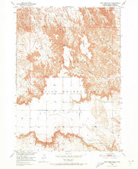
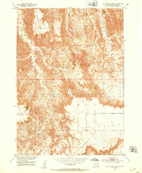
Pine Ridge Indian Reservation land dominates this landscape, showing a stark contrast between high flat tables and the intricate drainage networks that carve into them. The survey, completed in the early 1950s, documents the isolated Cuny Table and the nearby Stronghold Table, where the flat prairie suddenly gives way to complex erosional features. A distinct lack of dense settlement is evident, with human activity represented by sparse landmarks like the Cuny Table Sch and a single Windmill. Water management and natural drainage define the geography here, with seasonal paths like Big Corral Draw, Quinn Draw, and Cottonwood Creek cutting through the Cactus Flats. This map is a record of the high plains topography before later development, capturing the essential character of Shannon County's arid tablelands.
Find a feature on this map
11 named features on this map. Tap any name to fly to it.
Don’t see what you’re looking for? This feature index may not catch every label — zoom into the map to look around manually.
Map Details
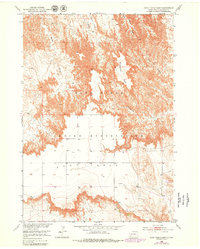
Editions of this 1950 Cuny Table East Map
3 editions found
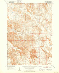
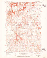
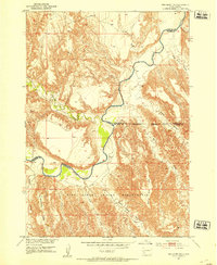
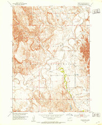
Other maps of this area
1950 · Sheep Mountain Table
USGS Topo · 1:24,000
1950 · Stirk Table
USGS Topo · 1:24,000
1950 · Cuny Table East
USGS Topo · 1:24,000

1951 · Heutmacher Table
USGS Topo · 1:24,000

1951 · Rockyford NW
USGS Topo · 1:24,000
1951 · Willow Creek NE
USGS Topo · 1:24,000
1951 · Red Shirt NE
USGS Topo · 1:24,000
1951 · Rockyford
USGS Topo · 1:24,000
1951 · Cuny Table West
USGS Topo · 1:24,000

1955 · Hot Springs
USGS Topo · 1:250,000