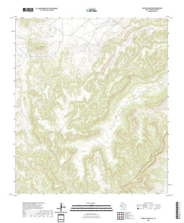
2022 Map of Cupola Mountain
USGS Topo · Published 2022About this map
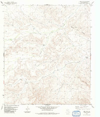
Cupola Mtn rises above the arid landscape of Brewster County in this 2022 survey, anchoring a complex system of drainage and high points in the Trans-Pecos. The map shows the significant geological incisions of Reagan Canyon and Big Canyon, which cut through the high desert terrain of West Texas. This area is characterized by dramatic elevation changes, where peaks like Black Mtn overlook deep washes and canyon systems. The scarcity of structures or roads on this sheet underscores the isolation of this corner of the Big Bend region, where natural topography remains the primary landmark for navigation and land use.
Find a feature on this map
4 named features on this map. Tap any name to fly to it.
Don’t see what you’re looking for? This feature index may not catch every label — zoom into the map to look around manually.
Map Details
Editions of this 2022 Cupola Mountain Map
This is the sole edition of this map. No revisions or reprints were ever made.
Other maps of this area

1918 · Reagan Canyon
USGS Topo · 1:62,500

1918 · Dove Mountain
USGS Topo · 1:62,500

1918 · Bullis Gap
USGS Topo · 1:62,500

1919 · Maravillas Canyon
USGS Topo · 1:62,500

1959 · Emory Peak
USGS Topo · 1:250,000

1965 · Emory Peak
USGS Topo · 1:250,000
1983 · Las Vegas De Los Ladrones SW
USGS Topo · 1:24,000
1983 · Black Gap
USGS Topo · 1:24,000
1983 · Bourland Canyon
USGS Topo · 1:24,000
1983 · Beef Gap
USGS Topo · 1:24,000