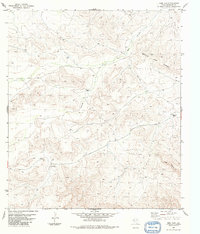
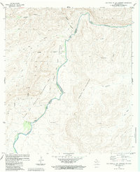
1983 Map of Beef Gap
USGS Topo · Published 1984About this map
The high desert terrain of the Bullis Gap Range dominates this West Texas survey, defined by its complex network of canyons and remote ranching outposts. Isolated settlements such as Beef Canyon Ranch, Smith Ranch, and the locality of Reagan are scattered across the landscape, connected primarily by a network of unimproved roads and a Jeep Trail. The map illustrates the critical importance of water management in this arid region, as evidenced by the numerous named water sources like Espanol Tank, Beef Canyon, and various other tanks and wells. A notable Landing Strip located near the center of the sheet highlights the necessity of aerial access in this expansive territory. The geography is carved by significant natural features including Beef Gap and Bear Canyon, which dictate the movement of both livestock and vehicles through the desert floor.
Find a feature on this map
12 named features on this map. Tap any name to fly to it.
Don’t see what you’re looking for? This feature index may not catch every label — zoom into the map to look around manually.
Map Details
Editions of this 1983 Beef Gap Map
This is the sole edition of this map. No revisions or reprints were ever made.
Other maps of this area

1918 · Reagan Canyon
USGS Topo · 1:62,500

1918 · Dove Mountain
USGS Topo · 1:62,500

1918 · Bullis Gap
USGS Topo · 1:62,500

1919 · Maravillas Canyon
USGS Topo · 1:62,500

1959 · Emory Peak
USGS Topo · 1:250,000

1965 · Emory Peak
USGS Topo · 1:250,000
1983 · San Francisco Shutups
USGS Topo · 1:24,000
1983 · Pine Mountain East
USGS Topo · 1:24,000
1983 · Bullis Gap
USGS Topo · 1:24,000
1983 · Las Vegas De Los Ladrones
USGS Topo · 1:24,000