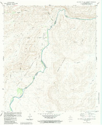
1983 Map of Las Vegas De Los Ladrones
USGS Topo · Published 1984About this map
The Rio Grande Rio Bravo carves a deep, winding path through this desert landscape, serving as the international boundary between Estados Unidos Mexicanos and the United States of America. On the Texas side, the Las Vegas De Los Ladrones Wildlife Management Area dominates the terrain, characterized by a series of significant canyons including Reagan Canyon and Big Canyon. The map reveals a sparsely settled frontier, with the Black Gap and Las Torrecitas serving as notable landmarks in an area otherwise defined by steep elevation changes and isolated wells.
Find a feature on this map
21 named features on this map. Tap any name to fly to it.
Don’t see what you’re looking for? This feature index may not catch every label — zoom into the map to look around manually.
Map Details
Editions of this 1983 Las Vegas De Los Ladrones Map
2 editions found
Other maps of this area

1918 · Reagan Canyon
USGS Topo · 1:62,500

1918 · Dove Mountain
USGS Topo · 1:62,500

1918 · Bullis Gap
USGS Topo · 1:62,500

1919 · Maravillas Canyon
USGS Topo · 1:62,500

1959 · Emory Peak
USGS Topo · 1:250,000

1965 · Emory Peak
USGS Topo · 1:250,000
1983 · Las Vegas De Los Ladrones SW
USGS Topo · 1:24,000
1983 · Bourland Canyon
USGS Topo · 1:24,000
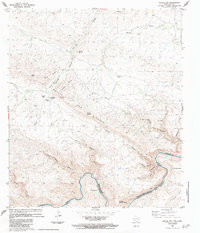
1983 · Bullis Gap
USGS Topo · 1:24,000
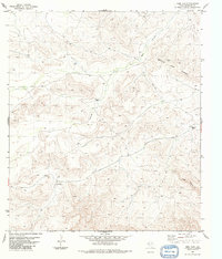
1983 · Beef Gap
USGS Topo · 1:24,000