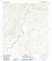
1983 Map of Las Vegas De Los Ladrones
USGS Topo · Published 1991About this map
The Rio Grande Rio Bravo serves as the international boundary on this survey, dividing Brewster County, Texas, from the Mexican state of Coahuila. This desert landscape is defined by its dramatic relief and steep drainages, including the prominent Reagan Canyon and Big Canyon which cut toward the river. Much of the Texas side is dedicated to conservation within the Las Vegas De Los Ladrones Wildlife Management Area, a region of intricate topography where the Black Gap separates higher plateaus from the river valley. Across the border in Mexico, the terrain rises into the Sierrita De Guadalupe and features named landforms such as Cerros Cuates and El Recodo. Sparse human presence is indicated by the settlement of Las Torrecitas, reflecting the isolation of this borderland reach before the turn of the millennium.
Find a feature on this map
17 named features on this map. Tap any name to fly to it.
Don’t see what you’re looking for? This feature index may not catch every label — zoom into the map to look around manually.
Map Details
Editions of this 1983 Las Vegas De Los Ladrones Map
2 editions found
Other maps of this area

1918 · Reagan Canyon
USGS Topo · 1:62,500

1918 · Dove Mountain
USGS Topo · 1:62,500

1918 · Bullis Gap
USGS Topo · 1:62,500

1919 · Maravillas Canyon
USGS Topo · 1:62,500

1959 · Emory Peak
USGS Topo · 1:250,000

1965 · Emory Peak
USGS Topo · 1:250,000
1983 · Las Vegas De Los Ladrones SW
USGS Topo · 1:24,000
1983 · Bourland Canyon
USGS Topo · 1:24,000
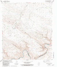
1983 · Bullis Gap
USGS Topo · 1:24,000
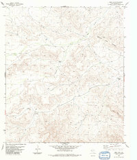
1983 · Beef Gap
USGS Topo · 1:24,000