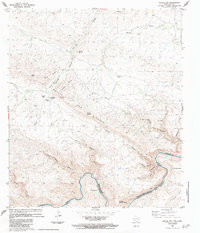
1983 Map of Bullis Gap
USGS Topo · Published 1984About this map
Bullis Gap Range dominates this West Texas landscape along the international border in the early 1980s. The topography is defined by a complex network of drainage systems including Kellogg Canyon, Jackson Canyon, and Silber Canyon, all descending toward the Rio Grande Rio Bravo. Human presence is sparse, centered on the Bullis Gap Ranch and its associated Landing Strips, which indicate the necessity of aerial access in this remote portion of Brewster County. Across the river in Coahuila, Mexico, small settlements like C. El Recodo and C. El Mexicano sit near the water's edge below the heights of Lomas de las Palmas. The map illustrates a borderland economy reliant on water management, evidenced by numerous tanks and draws that sustain the arid terrain between Mount Karen and the river.
Find a feature on this map
29 named features on this map. Tap any name to fly to it.
Don’t see what you’re looking for? This feature index may not catch every label — zoom into the map to look around manually.
Map Details
Editions of this 1983 Bullis Gap Map
This is the sole edition of this map. No revisions or reprints were ever made.
Other maps of this area

1918 · Reagan Canyon
USGS Topo · 1:62,500

1918 · Bullis Gap
USGS Topo · 1:62,500

1918 · Indian Wells
USGS Topo · 1:62,500

1959 · Emory Peak
USGS Topo · 1:250,000

1965 · Emory Peak
USGS Topo · 1:250,000
1983 · San Francisco Shutups
USGS Topo · 1:24,000
1983 · Beef Gap
USGS Topo · 1:24,000
1983 · Panther Gulch West
USGS Topo · 1:24,000
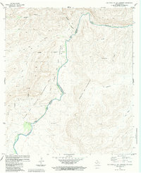
1983 · Las Vegas De Los Ladrones
USGS Topo · 1:24,000
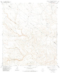
1983 · Candilla Canyon West
USGS Topo · 1:24,000