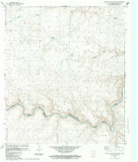
1983 Map of Panther Gulch West
USGS Topo · Published 1984About this map
Rio Grande Bravo snakes through this remote borderland, defining the international boundary between Brewster Co, Texas, and Coahuila, Mexico. The landscape is marked by extreme relief and sparse ranching infrastructure, such as the Rio Grande Mesa Ranch and Shudde Ranch, the latter of which features a small Landing Strip. On the Mexican side of the river, the terrain rises sharply into Mesa el Tule and La Mesa, with deep drainages like Mal Paso and A. Hondo cutting toward the water. A network of Jeep Trails provides the only access across the high desert flats of the American side, connecting isolated points like the Frisco survey marker and Double Tanks. This 1980s data reflects a period of established international water treaties, specifically noting the boundary established by the Treaty of November 23, 1970.
Find a feature on this map
22 named features on this map. Tap any name to fly to it.
Don’t see what you’re looking for? This feature index may not catch every label — zoom into the map to look around manually.
Map Details
Editions of this 1983 Panther Gulch West Map
2 editions found
Other maps of this area

1918 · Reagan Canyon
USGS Topo · 1:62,500

1918 · Bullis Gap
USGS Topo · 1:62,500

1918 · Indian Wells
USGS Topo · 1:62,500

1959 · Emory Peak
USGS Topo · 1:250,000

1965 · Emory Peak
USGS Topo · 1:250,000
1983 · Panther Gulch East
USGS Topo · 1:24,000
1983 · Bullis Gap
USGS Topo · 1:24,000
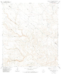
1983 · Candilla Canyon West
USGS Topo · 1:24,000
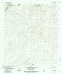
1983 · San Rosendo
USGS Topo · 1:24,000
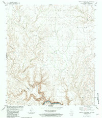
1983 · Candilla Canyon East
USGS Topo · 1:24,000