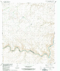
1983 Map of Panther Gulch West
USGS Topo · Published 1991About this map
The Rio Grande Rio Bravo carves a winding path through the borderlands of southern Brewster Co, Texas, and Coahuila, Mexico. This landscape is defined by its isolation and the practicalities of ranching life, where water sources like Double Tanks and several labeled Wells are critical for survival. The map captures the infrastructure of remote high-desert outposts, featuring the Rio Grande Mesa Ranch in the northeast and Shudde Ranch near the center of the quadrangle. Significant drainages such as Panther Gulch and Barrel Canyon cut through the terrain, while a dedicated Landing Strip at the Shudde property highlights the necessity of aerial transport in this far-flung region. Benchmarks like BN 314 and BN 411 provide precise reference points along the international boundary, reflecting the collaborative efforts of U.S. and Mexican surveying agencies.
Find a feature on this map
23 named features on this map. Tap any name to fly to it.
Don’t see what you’re looking for? This feature index may not catch every label — zoom into the map to look around manually.
Map Details
Editions of this 1983 Panther Gulch West Map
2 editions found
Other maps of this area

1918 · Reagan Canyon
USGS Topo · 1:62,500

1918 · Bullis Gap
USGS Topo · 1:62,500

1918 · Indian Wells
USGS Topo · 1:62,500

1959 · Emory Peak
USGS Topo · 1:250,000

1965 · Emory Peak
USGS Topo · 1:250,000
1983 · Panther Gulch East
USGS Topo · 1:24,000
1983 · Bullis Gap
USGS Topo · 1:24,000
1983 · Panther Gulch West
USGS Topo · 1:24,000
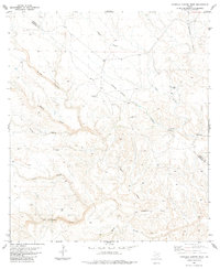
1983 · Candilla Canyon West
USGS Topo · 1:24,000
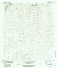
1983 · San Rosendo
USGS Topo · 1:24,000