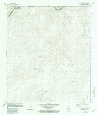
1983 Map of San Rosendo
USGS Topo · Published 1984About this map
The Rio Grande Rio Bravo carves through this binational borderlands landscape, defining the international boundary between Brewster Co, Texas, and Coahuila, Mexico. Published in the early 1980s, the map documents a terrain marked by numerous intermittent watercourses and peaks. Significant landmarks include the settlement of San Rosendo and a series of named elevations such as C. Quemado, C. El Pilon, and C. El Leon. The drainage patterns are intricate, with La Yegua and Caballo Blanco feeding toward the river corridor, where Rapids are noted in the main channel. This topographic study reflects the coordinated effort of the International Boundary and Water Commission to delineate this desert frontier, capturing the sparsely populated ranching or transit areas as they appeared following the 1970 treaty.
Find a feature on this map
24 named features on this map. Tap any name to fly to it.
Don’t see what you’re looking for? This feature index may not catch every label — zoom into the map to look around manually.
Map Details
Editions of this 1983 San Rosendo Map
This is the sole edition of this map. No revisions or reprints were ever made.
Other maps of this area

1918 · Reagan Canyon
USGS Topo · 1:62,500

1918 · Bullis Gap
USGS Topo · 1:62,500

1918 · Indian Wells
USGS Topo · 1:62,500

1959 · Emory Peak
USGS Topo · 1:250,000

1965 · Emory Peak
USGS Topo · 1:250,000
1983 · Las Vegas De Los Ladrones SW
USGS Topo · 1:24,000
1983 · Bullis Gap
USGS Topo · 1:24,000
1983 · Beef Gap
USGS Topo · 1:24,000
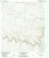
1983 · Panther Gulch West
USGS Topo · 1:24,000
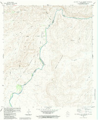
1983 · Las Vegas De Los Ladrones
USGS Topo · 1:24,000