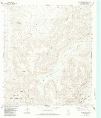
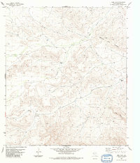
1983 Map of Cupola Mountain
USGS Topo · Published 1984About this map
Black Gap Wildlife Management Area anchors the southern portion of this West Texas terrain, where the landscape is defined by deep drainages and limestone summits. The map tracks the winding course of Reagan Canyon and Big Reagan Canyon as they carve through the high desert toward the Rio Grande corridor. Human presence is sparse, marked primarily by the isolated Stovall Ranch and a network of Jeep Trails and Trails that negotiate the steep contours between Black Mountain and Cupola Mountain. This 1983 edition, based on 1970s field data, captures the area's transition into a managed wildlife sanctuary, showing several remote water sources such as the Tank located along the northern canyons. The presence of an Indefinite Boundary reflects the complex surveying history of these remote Brewster County reaches.
Find a feature on this map
11 named features on this map. Tap any name to fly to it.
Don’t see what you’re looking for? This feature index may not catch every label — zoom into the map to look around manually.
Map Details
Editions of this 1983 Cupola Mountain Map
This is the sole edition of this map. No revisions or reprints were ever made.
Other maps of this area

1918 · Reagan Canyon
USGS Topo · 1:62,500

1918 · Dove Mountain
USGS Topo · 1:62,500

1918 · Bullis Gap
USGS Topo · 1:62,500

1919 · Maravillas Canyon
USGS Topo · 1:62,500

1959 · Emory Peak
USGS Topo · 1:250,000

1965 · Emory Peak
USGS Topo · 1:250,000
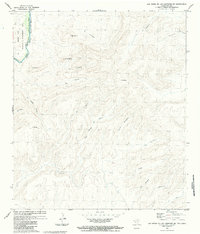
1983 · Las Vegas De Los Ladrones SW
USGS Topo · 1:24,000
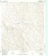
1983 · Black Gap
USGS Topo · 1:24,000
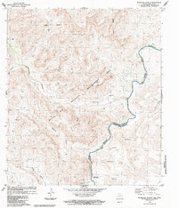
1983 · Bourland Canyon
USGS Topo · 1:24,000
1983 · Beef Gap
USGS Topo · 1:24,000