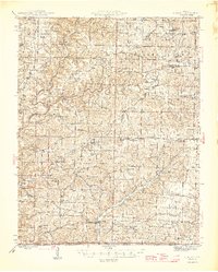
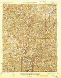
1946 Map of Cureall
USGS Topo · Published 1946This historical map portrays the area of Cureall in 1946, primarily covering Ozark County as well as portions of Howell County. Featuring a scale of 1:62500, this map provides a highly detailed snapshot of the terrain, roads, buildings, counties, and historical landmarks in the Cureall region at the time. Published in 1946, it is one of 2 known editions of this map due to revisions or reprints.
Find a feature on this map
130 named features on this map. Tap any name to fly to it.
Don’t see what you’re looking for? This feature index may not catch every label — zoom into the map to look around manually.
Map Details
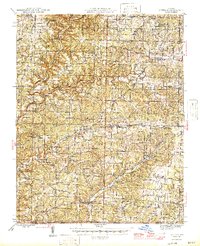
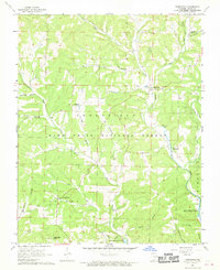
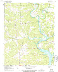
Editions of this 1946 Cureall Map
2 editions found
Historical Maps of Elijah Through Time
16 maps found

1936 Thornfield
Ozark County, MO
1943 Thornfield
Ozark County, MO
1944 Cureall
Ozark County, MO
1945 Thornfield
Ozark County, MO
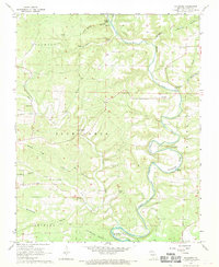
1946 Cureall
Ozark County, MO
1968 Cureall NW
Ozark County, MO
1968 Gainesville NW
Ozark County, MO
1968 Isabella
Ozark County, MO
1968 Sycamore
Ozark County, MO
1968 Thornfield
Ozark County, MO
1968 Udall
Ozark County, MO
1968 Willhoit
Ozark County, MO
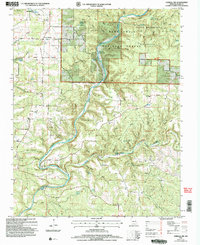
2004 Cureall NW
Ozark County, MO
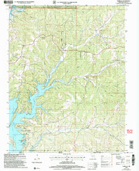
2004 Isabella
Ozark County, MO
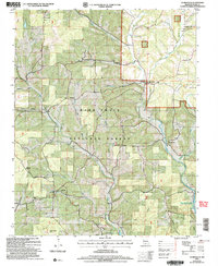
2004 Thornfield
Ozark County, MO
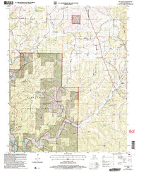
2004 Willhoit
Ozark County, MO