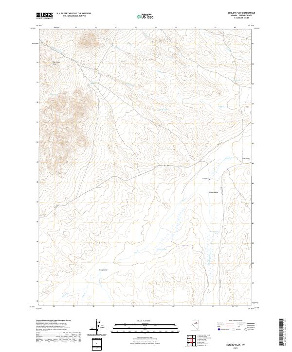
2021 Map of Curlow Flat
USGS Topo · Published 2021About this map
Curlow Flat and the surrounding high-desert basins define this portion of Eureka County, where seasonal water sources and intermittent streams dictate the character of the landscape. The convergence of Garden Valley, Pine Valley, and Denay Valley illustrates a complex system of drainage basins separated by subtle topographical divides. These lowlands are punctuated by critical water points such as Curlow Spring and Moores Spring, which historically supported the region's livestock and sparse travel routes.
Find a feature on this map
25 named features on this map. Tap any name to fly to it.
Don’t see what you’re looking for? This feature index may not catch every label — zoom into the map to look around manually.
Map Details
Editions of this 2021 Curlow Flat Map
This is the sole edition of this map. No revisions or reprints were ever made.
Other maps of this area

1937 · Mineral Hill
USGS Topo · 1:48,000

1943 · Mineral Hill
USGS Topo · 1:62,500

1952 · Pine Valley
USGS Topo · 1:62,500

1955 · Winnemucca
USGS Topo · 1:250,000

1957 · Frenchie Creek
USGS Topo · 1:62,500

1957 · Horse Creek Valley
USGS Topo · 1:62,500

1958 · Winnemucca
USGS Topo · 1:250,000

1962 · Winnemucca
USGS Topo · 1:250,000
1985 · Thatcher Spring
USGS Topo · 1:24,000
1985 · Hand-Me-Down Creek
USGS Topo · 1:24,000