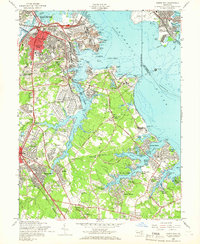
1957 Map of Curtis Bay
USGS Topo · Published 1966About this map
The Curtis Bay Army Ordnance Depot dominates the industrial and military landscape of this 1957 survey, situated at the confluence of Curtis Creek and the Patapsco River. This area of Anne Arundel County illustrates a period of mid-century suburban expansion, particularly in communities like Harundale and Glen Gardens, while the waterfront remains dedicated to heavy transport and defense. Along the shoreline, sites such as the US Quarantine Sta and the offshore Fort Carroll reflect the maritime security of the Baltimore harbor approach. Inland, the map documents a network of community life centered around institutions like Halls Memorial Ch and Marley Neck Sch. The complex geography of inlets like Tanyard Cove and Stony Creek is lined with numerous small beach settlements, including Orchard Beach and Powhatan Beach, which served as local residential and recreational hubs before the intensification of modern development.
Find a feature on this map
110 named features on this map. Tap any name to fly to it.
Don’t see what you’re looking for? This feature index may not catch every label — zoom into the map to look around manually.
Map Details
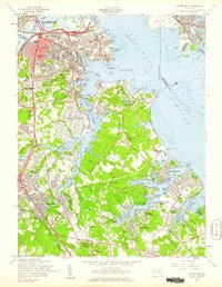
Editions of this 1957 Curtis Bay Map
2 editions found
Other maps of this area

1893 · North Point
USGS Topo · 1:62,500

1893 · Gunpowder
USGS Topo · 1:62,500

1894 · Baltimore
USGS Topo · 1:62,500

1894 · Relay
USGS Topo · 1:62,500

1898 · Tolchester
USGS Topo · 1:125,000

1899 · Baltimore
USGS Topo · 1:62,500

1901 · Gunpowder
USGS Topo · 1:62,500

1903 · Tolchester
USGS Topo · 1:125,000

1904 · Baltimore
USGS Topo · 1:62,500

1904 · North Point
USGS Topo · 1:62,500