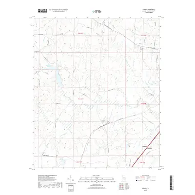
2018 Map of Cusseta
USGS Topo · Published 2018About this map
Cusseta and the surrounding Chambers County landscape are defined by a network of creeks and small impoundments that feed into the Chattahoochee River basin. This survey documents the area just west of the industrial corridor of Lanett and Valley, highlighting a predominantly rural geography where small settlements like Tuckersburg persist alongside agricultural and timber lands. The topography is shaped by the drainage patterns of Oseligee Cr, Wildcat Cr, and Snapper Cr, which meander through the central and western portions of the quadrangle.
Find a feature on this map
72 named features on this map. Tap any name to fly to it.
Don’t see what you’re looking for? This feature index may not catch every label — zoom into the map to look around manually.
Map Details
Editions of this 2018 Cusseta Map
This is the sole edition of this map. No revisions or reprints were ever made.
Other maps of this area

1907 · Opelika
USGS Topo · 1:125,000

1909 · Opelika
USGS Topo · 1:125,000

1955 · Phenix City
USGS Topo · 1:250,000

1957 · Phenix City
USGS Topo · 1:250,000

1958 · Phenix City
USGS Topo · 1:250,000
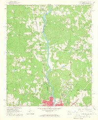
1964 · Lanett North
USGS Topo · 1:24,000

1964 · Lanett South
USGS Topo · 1:24,000
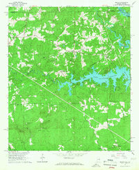
1965 · Beulah
USGS Topo · 1:24,000

1970 · Opelika East
USGS Topo · 1:24,000
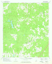
1971 · Cusseta
USGS Topo · 1:24,000