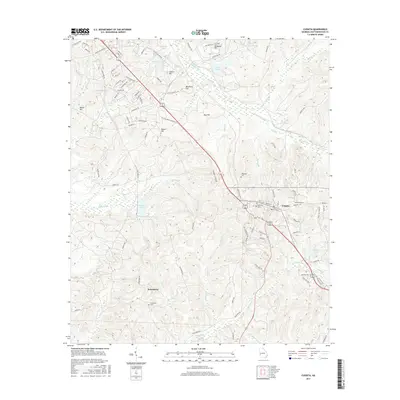
2017 Map of Cusseta
USGS Topo · Published 2017About this map
Cusseta serves as the primary hub for this portion of Chattahoochee County, where the landscape is defined by the convergence of numerous waterways and strategic hills. The area around Jamestown is particularly notable for its local history, featuring the Goodhope Cem and various named branches and creeks like Sand Br and Camy Cr. The topography is marked by several prominent rises, including McKenna Hill, Craston Hill, and Ryans Hill, which overlook a network of drainage systems feeding into Ochillee Cr and Hichitee Cr. Military aviation is represented by the McKenna Leyte Heliport in the northern portion of the quadrangle. Significant water bodies such as Victoria Pond, Kings Pond, and Millers Lake are interspersed throughout the wooded terrain, while the Columbus Cusseta Rd provides a primary transit corridor through the center of the sheet.
Find a feature on this map
97 named features on this map. Tap any name to fly to it.
Don’t see what you’re looking for? This feature index may not catch every label — zoom into the map to look around manually.
Map Details
Editions of this 2017 Cusseta Map
This is the sole edition of this map. No revisions or reprints were ever made.
Other maps of this area

1908 · Columbus
USGS Topo · 1:62,500

1929 · Columbus
USGS Topo · 1:48,000

1947 · Columbus
USGS Topo · 1:62,500

1949 · Glen Alta
USGS Topo · 1:24,000

1949 · Julia
USGS Topo · 1:24,000

1949 · Ochillee
USGS Topo · 1:24,000

1949 · Buena Vista NW
USGS Topo · 1:24,000

1949 · Columbus
USGS Topo · 1:24,000

1949 · Cusseta
USGS Topo · 1:24,000

1950 · Fort Benning
USGS Topo · 1:24,000