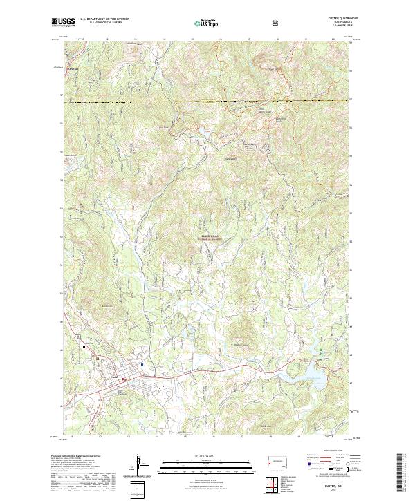
2021 Map of Custer
USGS Topo · Published 2021About this map
Custer serves as a focal point for this survey of the southern Black Hills, where the Custer County Courthouse and Custer Cem reflect the long-standing civic and social center of the region. The landscape is defined by the dense network of trails and drainage systems within the Black Hills National Forest, including the notable George S. Mickelson Trl and the climb toward Black Elk Peak. To the north, the terrain becomes increasingly dramatic around The Needles and Needles Eye Tunnel, while recreation and water management are evident at Sylvan Lake, Bismark Lake, and Stockade Lake. This 2021 update documents a complex geography of granite spires like the Cathedral Spires and Little Devils Tower, alongside a modern road network that provides access to the high peaks and forest deeps that have drawn travelers and settlers to the area for generations.
Find a feature on this map
51 named features on this map. Tap any name to fly to it.
Don’t see what you’re looking for? This feature index may not catch every label — zoom into the map to look around manually.
Map Details
Editions of this 2021 Custer Map
This is the sole edition of this map. No revisions or reprints were ever made.
Other maps of this area

1894 · Hermosa
USGS Topo · 1:125,000

1896 · Harney Peak
USGS Topo · 1:125,000

1901 · Hermosa
USGS Topo · 1:125,000

1901 · Harney Peak
USGS Topo · 1:125,000

1954 · Iron Mountain
USGS Topo · 1:24,000

1954 · Fourmile
USGS Topo · 1:24,000
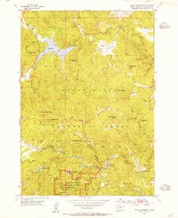
1954 · Mount Rushmore
USGS Topo · 1:24,000

1954 · Custer
USGS Topo · 1:24,000

1954 · Hill City
USGS Topo · 1:24,000

1954 · Berne
USGS Topo · 1:24,000