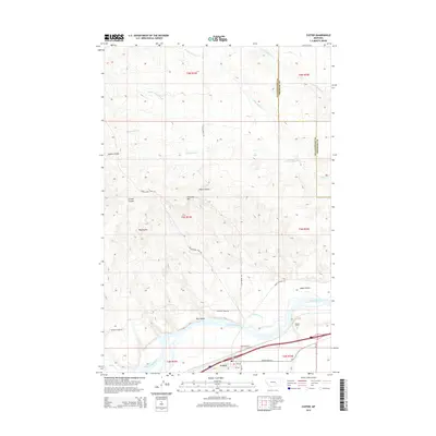
2014 Map of Custer
USGS Topo · Published 2014About this map
Custer sits at a strategic point in the lower Yellowstone River valley, where the water flows through a landscape carved by numerous coulees and drainages. The settlement's grid is oriented parallel to the river and the adjacent transportation corridor, which includes Ruff Airport and the rail line passing through the Bighorn Tunnel. This area in Yellowstone and Treasure Counties is defined by its complex drainage network, where the Fivemile Creek and Allen Creek systems intersect the larger river valley.
Find a feature on this map
31 named features on this map. Tap any name to fly to it.
Don’t see what you’re looking for? This feature index may not catch every label — zoom into the map to look around manually.
Map Details
Editions of this 2014 Custer Map
This is the sole edition of this map. No revisions or reprints were ever made.
Other maps of this area

1954 · Forsyth
USGS Topo · 1:250,000

1957 · Forsyth
USGS Topo · 1:250,000

1958 · Forsyth
USGS Topo · 1:250,000
1960 · Bighorn
USGS Topo · 1:24,000
1960 · Coal Bank Creek
USGS Topo · 1:24,000
1960 · Custer
USGS Topo · 1:24,000
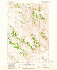
1960 · Rancher Cemetery
USGS Topo · 1:24,000
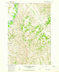
1960 · Marsh Coulee
USGS Topo · 1:24,000
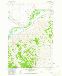
1960 · Waco
USGS Topo · 1:24,000
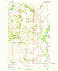
1960 · Mission Creek
USGS Topo · 1:24,000