
1960 Map of Custer
USGS Topo · Published 1962About this map
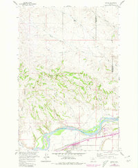
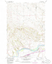
The Yellowstone River anchors this 1960 survey of south-central Montana, where the small settlement of Custer sits along the southern bank at the intersection of rail and water infrastructure. The landscape is defined by the sharp transition between the irrigated valley floor and the dissected uplands of the Yellowstone and Treasure County border. Transportation history is prominent here, with the Northern Pacific tracks following the river's course, passing through the Bighorn Tunnel to the east. Evidence of evolving infrastructure is visible in the Railroad Grade and Old Pipeline nearby. North of the river, the terrain rises into the breaks of Fivemile Hill, carved by a network of ephemeral drainages including Big Coulee, Hawk Coulee, and Carson Coulee. The irrigation network, led by the Custer Canal, supports the agricultural activity concentrated in the fertile bottomlands below the surrounding bluffs.
Find a feature on this map
17 named features on this map. Tap any name to fly to it.
Don’t see what you’re looking for? This feature index may not catch every label — zoom into the map to look around manually.
Map Details
Editions of this 1960 Custer Map
Other maps of this area

1954 · Forsyth
USGS Topo · 1:250,000

1957 · Forsyth
USGS Topo · 1:250,000

1958 · Forsyth
USGS Topo · 1:250,000

1960 · Bighorn
USGS Topo · 1:24,000

1960 · Coal Bank Creek
USGS Topo · 1:24,000

1960 · Rancher Cemetery
USGS Topo · 1:24,000

1960 · Marsh Coulee
USGS Topo · 1:24,000

1960 · Waco
USGS Topo · 1:24,000
1960 · Mission Creek
USGS Topo · 1:24,000

1979 · Hysham
USGS Topo · 1:100,000