
1892 Map of Cut-Off
USGS Topo · Published 1892About this map
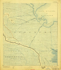
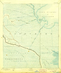
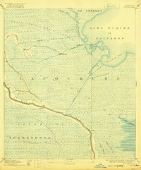
Bayou Lafourche anchors this late 19th-century survey, its winding course lined with the narrow ribbons of settlement characteristic of the Louisiana wetlands. While the vast interior is dominated by the Grand Prairie Des Allemands and the Trembling Prairie, the map reveals early industrial and navigational engineering via the Company Canal and Harang Canal. Small outposts like Gheens and Shell Banks appear as isolated landings in a landscape defined by water.
Find a feature on this map
24 named features on this map. Tap any name to fly to it.
Don’t see what you’re looking for? This feature index may not catch every label — zoom into the map to look around manually.
Map Details
Editions of this 1892 Cut-Off Map
4 editions found
Other maps of this area

1891 · Hahnville
USGS Topo · 1:62,500

1891 · New Orleans
USGS Topo · 1:62,500

1892 · Barataria
USGS Topo · 1:62,500

1892 · Lac Des Allemands
USGS Topo · 1:62,500

1892 · Houma
USGS Topo · 1:62,500

1892 · Creole
USGS Topo · 1:62,500

1894 · Lake Felicity
USGS Topo · 1:62,500

1894 · Dulac
USGS Topo · 1:62,500

1932 · Houma SE
USGS Topo · 1:31,680

1932 · New Orleans SW
USGS Topo · 1:31,680