
1963 Map of Cut Off
USGS Topo · Published 1980About this map
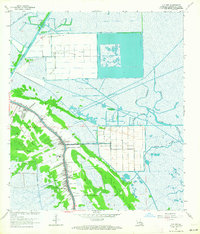
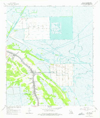
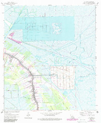
Bayou Lafourche serves as the central artery for this coastal landscape, where the long-lot patterns of historical French land grants are still clearly visible. Along this corridor, the settlements of Larose and Cut Off support a community anchored by maritime and petroleum industries. The map documents an intensive extraction economy, featuring the Dixie Delta Gas Field, Bayou Poignard Gas Field, and the Cut Off Oil and Gas Field. Beyond the developed levees, the terrain dissolves into an intricate network of marshes and waterways like Bayou de la Gauche and Bayou L'Ours. For local historians and genealogists, the map preserves specific cultural sites including Mt Zion Sch, the Lange-Cajunian Cem, and a mid-century Drive-in Theater, reflecting the community's mid-century expansion into Delta Farms and Clovelly Farms.
Find a feature on this map
36 named features on this map. Tap any name to fly to it.
Don’t see what you’re looking for? This feature index may not catch every label — zoom into the map to look around manually.
Map Details
Editions of this 1963 Cut Off Map
4 editions found
Other maps of this area

1892 · Barataria
USGS Topo · 1:62,500

1892 · Cut-Off
USGS Topo · 1:62,500

1892 · Creole
USGS Topo · 1:62,500

1894 · Lake Felicity
USGS Topo · 1:62,500

1935 · Viguerie Canal
USGS Topo · 1:31,680

1935 · Golden Meadow
USGS Topo · 1:31,680

1939 · Cut-Off
USGS Topo · 1:62,500

1939 · Lake Felicity
USGS Topo · 1:62,500

1941 · Cut-Off
USGS Topo · 1:62,500

1941 · Lake Felicity
USGS Topo · 1:62,500