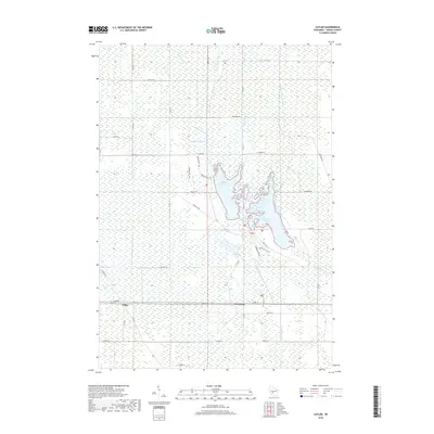
2018 Map of Cutler
USGS Topo · Published 2018About this map
The Little Yellow River and an intricate network of drainage canals, including the Spencer-Robinson Lateral and Carpenter Lateral, define the geography of this central Wisconsin landscape. The settlement of Cutler sits along the southern rail corridor, positioned near the junction of Cutler Dr and 22nd St W. To the east, the small community of Cloverdale anchors a grid of rural roads and section lines.
Find a feature on this map
38 named features on this map. Tap any name to fly to it.
Don’t see what you’re looking for? This feature index may not catch every label — zoom into the map to look around manually.
Map Details
Editions of this 2018 Cutler Map
This is the sole edition of this map. No revisions or reprints were ever made.
Other maps of this area

1919 · Kendall
USGS Topo · 1:62,500

1921 · Mauston
USGS Topo · 1:62,500

1921 · Kendall
USGS Topo · 1:62,500

1953 · Eau Claire
USGS Topo · 1:250,000

1958 · Eau Claire
USGS Topo · 1:250,000

1958 · Necedah
USGS Topo · 1:48,000

1958 · Wyeville
USGS Topo · 1:48,000

1958 · La Crosse
USGS Topo · 1:250,000

1961 · La Crosse
USGS Topo · 1:250,000

1962 · Kendall
USGS Topo · 1:62,500